
 EN
EN
 ar
ar bg
bg hr
hr cs
cs da
da nl
nl fi
fi fr
fr de
de el
el hi
hi it
it ko
ko no
no pl
pl pt
pt ro
ro ru
ru es
es sv
sv tl
tl iw
iw id
id lv
lv lt
lt sr
sr sk
sk sl
sl uk
uk vi
vi et
et hu
hu th
th tr
tr fa
fa ms
ms hy
hy ka
ka ur
ur bn
bn mn
mn ta
ta kk
kk uz
uz ku
ku
Tilt Sensor
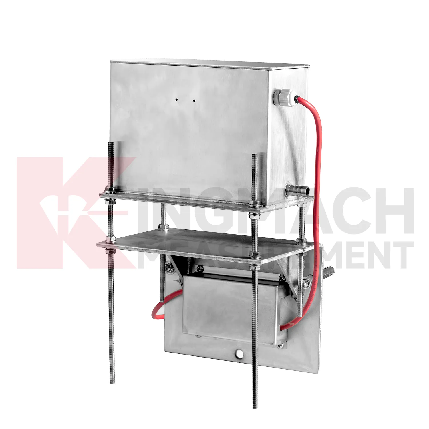
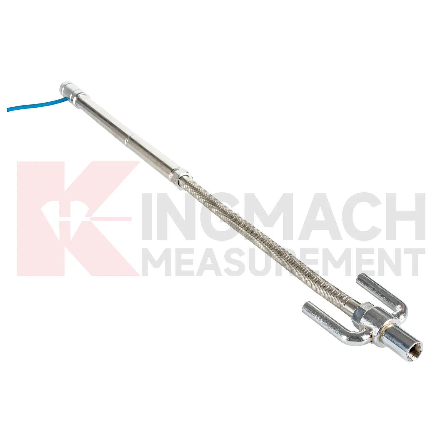
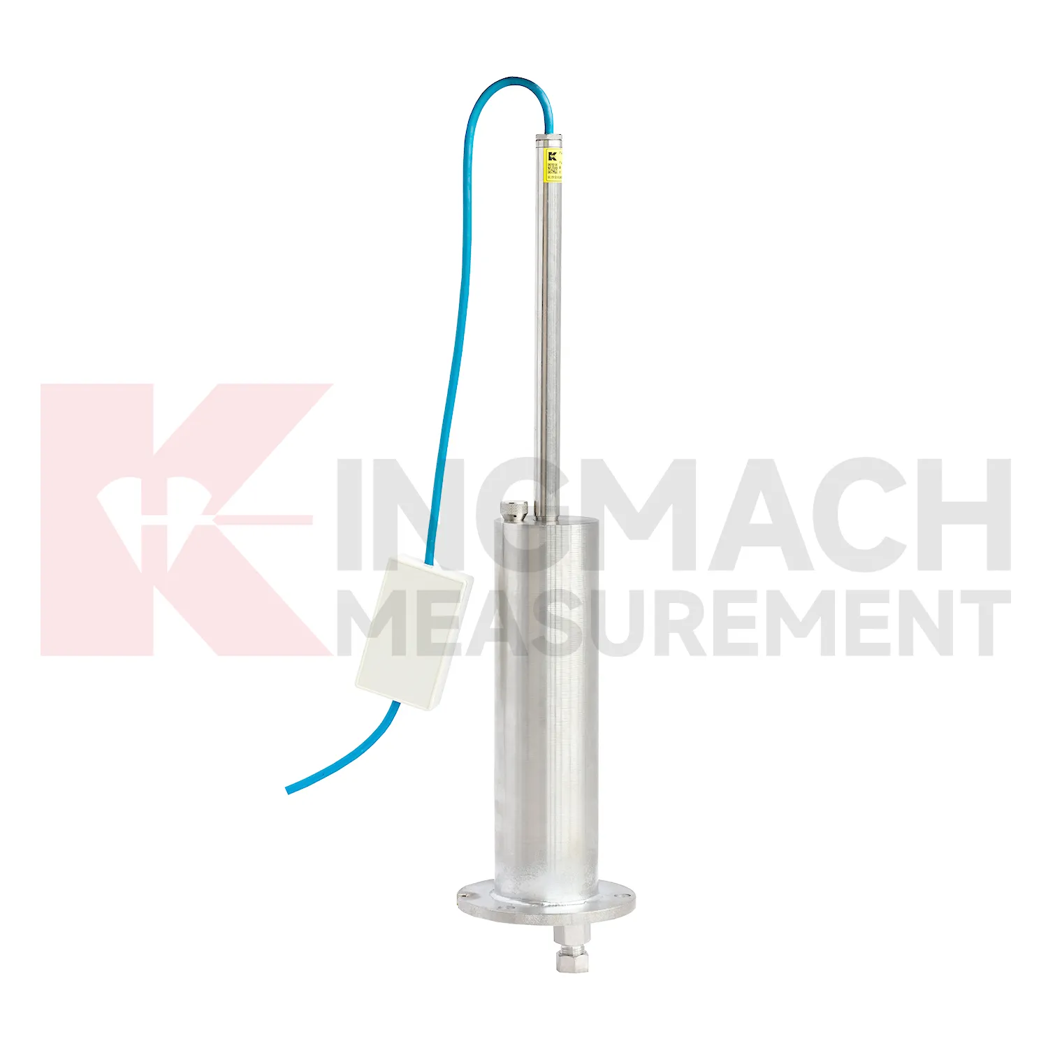
Kingmach Tilt Sensor include the JMDL-47XXAT smart single-point settlement gauge for buried positions where a defined vertical movement must be followed through construction. It is used for subgrade settlement, embankment heave, base uplift in deep foundation pits, tunnel bottom uplift, dyke compression deformation, and pile foundation settlement. Published range options are 100 mm, 200 mm, 300 mm, and 400 mm. Resolution is 0.01 mm on 100 mm and 200 mm models, and 0.1 mm on 300 mm and 400 mm models. Gauge lengths cover 760 mm, 1240 mm, 1720 mm, and 2210 mm. The assembly includes a settlement plate, electrical displacement sensor, measuring rod with metal flexible conduit, anchor head, extension rod, and bottom anchor head. Its side-exit cable design helps reduce interference during pavement compaction. The product is strongest when the installation depth, plate location, cable route, fill layer, and first stable reading are documented before the buried parts disappear under later work.
Application of Tilt Sensor
Pile foundations, dykes, and embankments use Tilt Sensor to verify vertical response during loading, filling, or long-term service. Kingmach JMDL-47XXAT is described for pile foundation settlement, dyke compression deformation, embankment heave, roadbed settlement, and base uplift in deep foundation pits. Its assembly includes a settlement plate, electrical displacement sensor, measuring rod with metal flexible conduit, anchor head, extension rod, and bottom anchor head. Published range options are 100 mm, 200 mm, 300 mm, and 400 mm, with gauge lengths from 760 mm to 2210 mm. Because the sensor is embedded, the installation record is almost as important as the reading itself. Crews should document depth, plate position, rod connection, cable exit, protection method, and nearby fill material before the location is covered. During loading, the curve can be checked against fill height, pile test stage, water condition, and surface survey marks. The side-exit cable arrangement helps reduce interference during pavement compaction, which is useful when monitoring must continue as construction equipment passes over the area.
The future of Tilt Sensor
The future of Tilt Sensor will include cleaner digital handover records. Settlement monitoring often lasts longer than the construction team stays on site, so owners need more than a table of values. A useful handover file should include model, serial number, range, reference point, tube route, ring depth, baseline, installation photo, cable tag, borehole number, and first stable reading. Kingmach products such as JMDL-47XXAT and JMCJ-1003/1005 especially benefit from this because embedded rods, magnetic rings, anchors, and borehole readings may be hard to inspect later. When that information is stored with the curve, maintenance teams can understand why a point was installed and how its settlement should be interpreted years later. Future records should make the instrument history as visible as the measurement itself, so old readings can still be trusted after staff changes, repairs, and new construction stages.
Care & Maintenance of Tilt Sensor
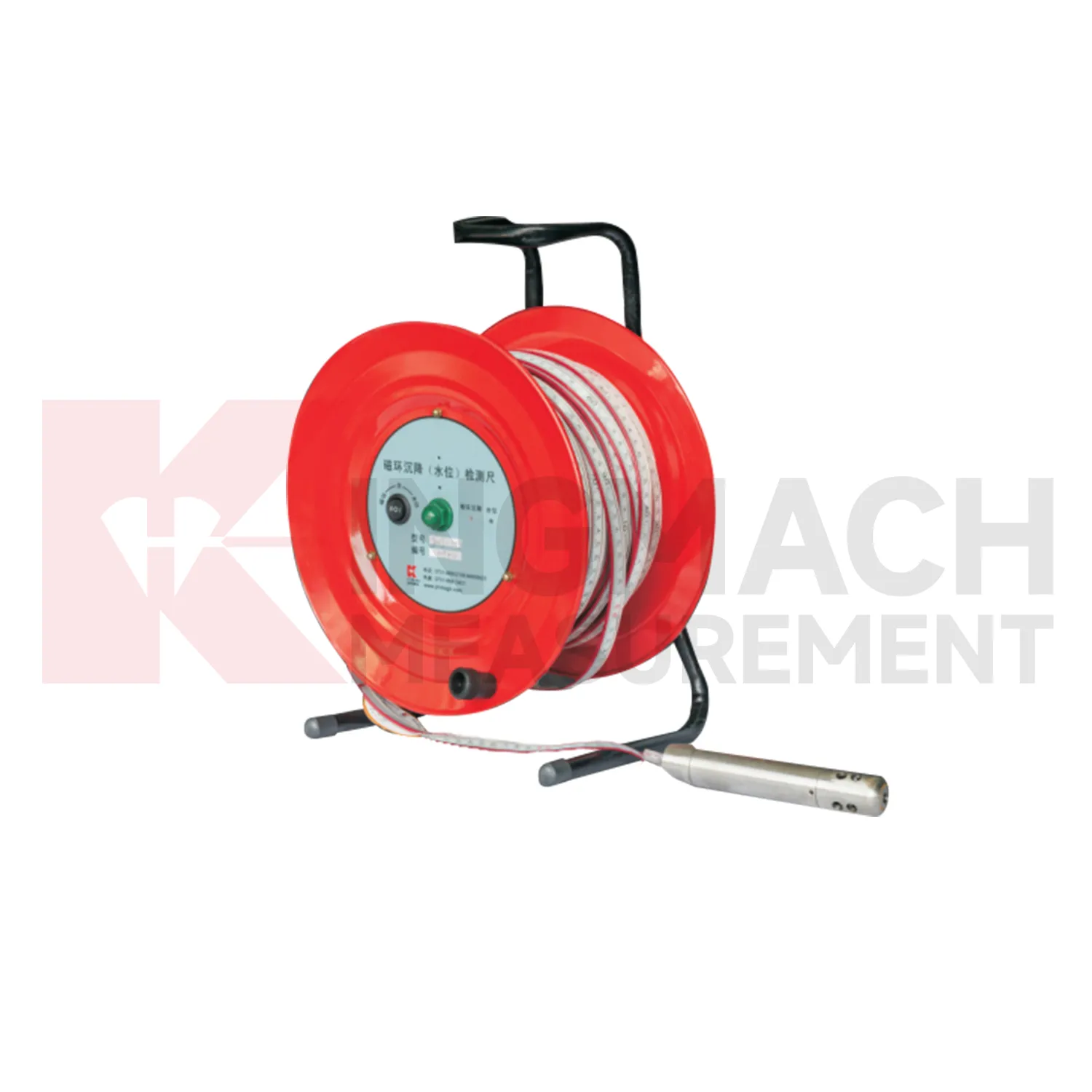
Baseline control for Tilt Sensor is a continuing maintenance task. A zero value should be recorded only after plates, rods, anchors, hydrostatic tubes, reference sensors, magnetic rings, probes, cabinets, and power supply are stable. If the baseline is taken during active compaction, dewatering, grouting, traffic vibration, or support adjustment, every later value may be difficult to explain. Kingmach products can support manual or remote readings, but both methods need a clear starting point. Keep the baseline date, weather, water level, construction stage, operator, and instrument status in the file. If a point must be reset, keep the old value, the new value, and the reason for the change. Do not erase earlier trend data to make a curve look tidy. Future reviewers need to know when the measuring system changed, otherwise normal maintenance can be mistaken for real ground movement.
Kingmach Tilt Sensor
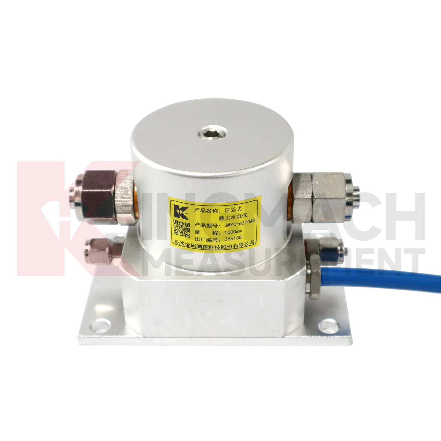
Wide-area settlement monitoring needs Tilt Sensor that can handle larger travel and uneven profiles. Kingmach JMYC-62XXAD wide-range differential pressure hydrostatic level sensors are designed for pavement settlement, cross-sectional nonlinear settlement, soft foundation treatment, land reclamation foundations, dam subgrades, slope stability, bridge deflection, and building settlement. The listed range extends from 500 mm to 4000 mm, with 0.1 mm resolution and 0.2%FS accuracy. This makes it different from micro range sensors used for smaller deflection changes. A long road or reclamation section should not be judged by one point only. The value comes from comparing a profile over time, then linking that profile with filling stage, surcharge timing, drainage records, groundwater, and site inspection notes. This is especially important when several instruments share one cabinet or when hydrostatic tubes, embedded rods, and manual borehole readings appear in the same project. This is especially important when several instruments share one cabinet or when hydrostatic tubes, embedded rods, and manual borehole readings appear in the same project.
FAQ
Q: What does JMDL-47XXAT measure?
A: It measures in-situ subgrade settlement, embankment heave, foundation pit base uplift, tunnel bottom uplift, dyke compression, and pile foundation settlement.
Q: What ranges are listed for JMDL-47XXAT?
A: The listed ranges are 100 mm, 200 mm, 300 mm, and 400 mm, with 0.01 mm resolution on the 100 and 200 mm models and 0.1 mm on larger models.
Q: How is the gauge installed?
A: It uses a settlement plate, electrical displacement sensor, measuring rod, metal flexible conduit, anchor head, extension rod, and bottom anchor head.
Q: Can traffic operation continue during monitoring?
A: The side-exit cable routing is designed to avoid interference with pavement compaction and can support monitoring during traffic operation when installed correctly.
Q: What should be recorded during installation?
A: Record plate position, anchor depth, extension length, cable route, baseline, model, range, and construction stage.
Reviews
Robert Taylor
The weir flow meter is well-built and delivers accurate measurements. Great value for water management applications.
Christopher Martinez
Very satisfied with the readouts & data loggers. User-friendly interface and supports multiple sensor inputs.
Latest Inquiries
To protect the privacy of our buyers, only public service email domains like Gmail, Yahoo, and MSN will be displayed. Additionally, only a limited portion of the inquiry content will be shown.
Olivia***@gmail.comUnited States
Hello, we are currently sourcing high-precision strain gauges and load cells for a bridge monitoring...
Emma***@gmail.comCanada
Dear Sir/Madam, we are interested in displacement transducers and settlement sensors for a geotechni...