
 EN
EN
 ar
ar bg
bg hr
hr cs
cs da
da nl
nl fi
fi fr
fr de
de el
el hi
hi it
it ko
ko no
no pl
pl pt
pt ro
ro ru
ru es
es sv
sv tl
tl iw
iw id
id lv
lv lt
lt sr
sr sk
sk sl
sl uk
uk vi
vi et
et hu
hu th
th tr
tr fa
fa ms
ms hy
hy ka
ka ur
ur bn
bn mn
mn ta
ta kk
kk uz
uz ku
ku
Hydrostatic Leveling System
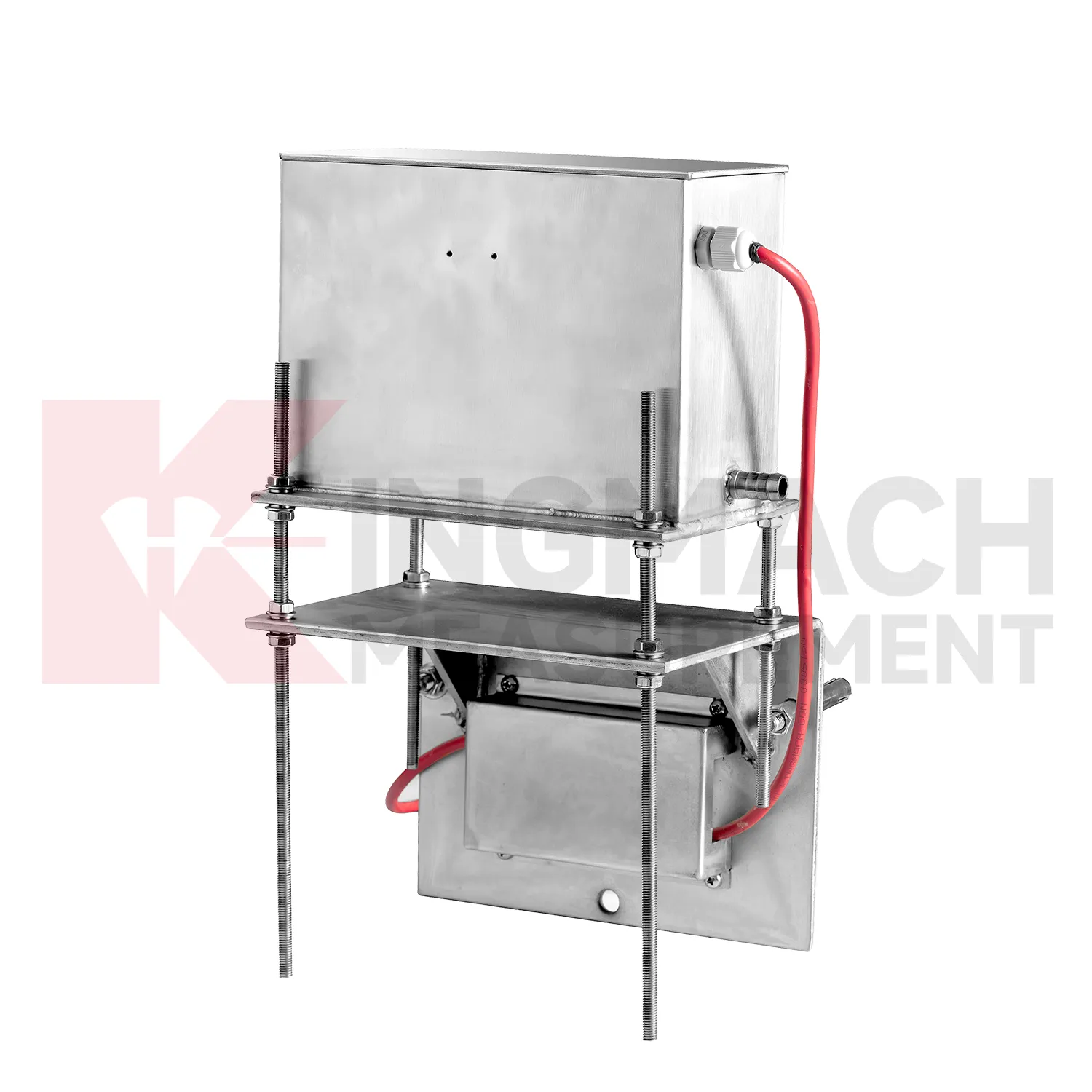
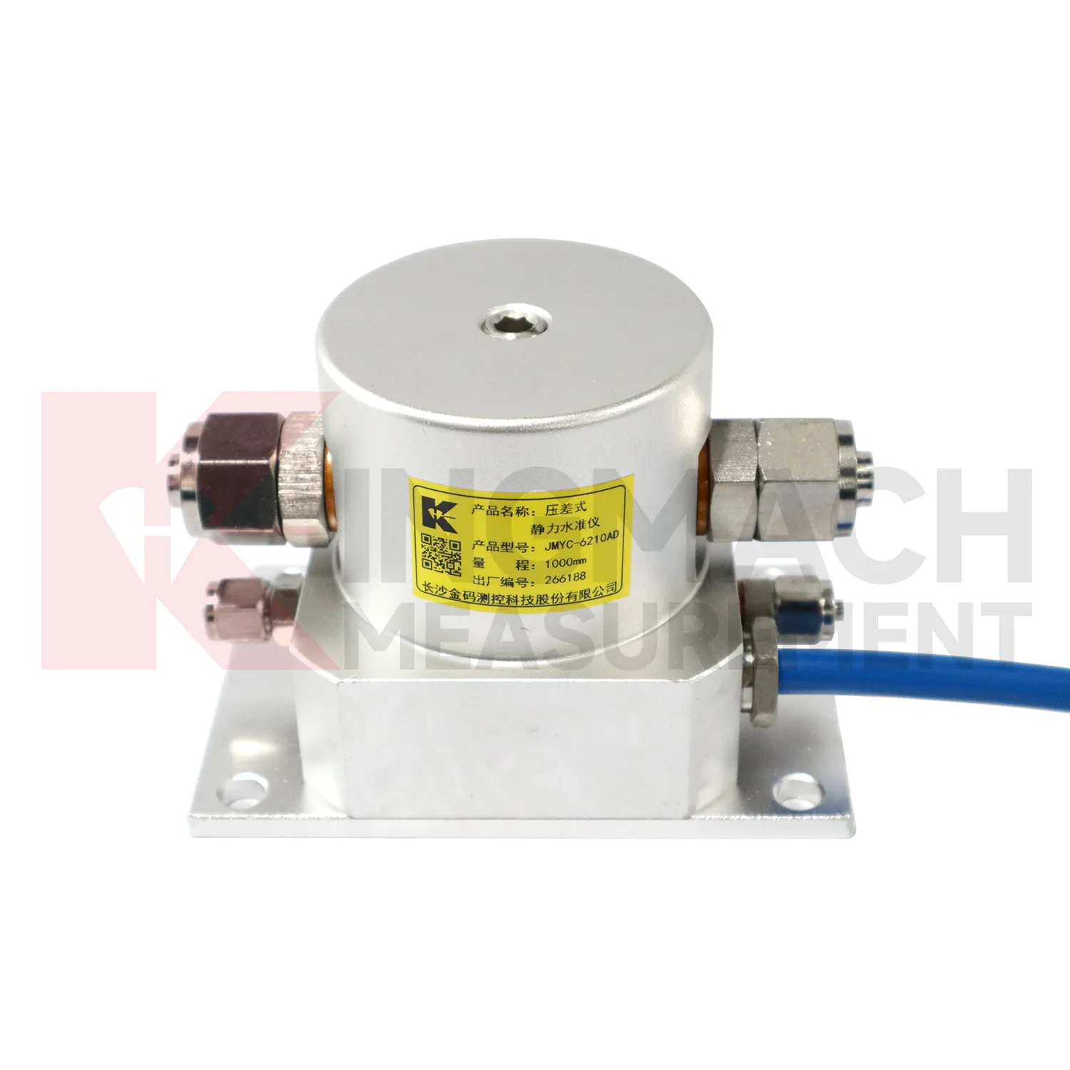
Kingmach Hydrostatic Leveling System include the JMDL-62XXADT inductive frequency-modulated hydrostatic level sensor for projects that need a hydrostatic reference network rather than isolated manual checks. The instrument is arranged with connecting tubes, so each measuring location works against a shared liquid level and a stable reference point. Listed ranges are 50 mm, 100 mm, and 200 mm, with 0.01 mm resolution, 0.5%FS accuracy, RS485 output, DC 9V to 24V supply, power consumption below 0.5W, and an operating temperature from -30 degrees Celsius to +80 degrees Celsius. It is applied in dam deformation observation, bridge deflection, slope stability, building settlement, and high-speed rail foundation monitoring. A good project layout starts with the reference benchmark, tube slope, exhaust position, cabinet height, cable route, and channel address. During commissioning, the crew should remove trapped air, confirm fluid continuity, record the initial level, and compare every channel under the same temperature condition. The data cabinet can then collect each channel by address and preserve a clear relation between tube branch, instrument serial number, and drawing location. This makes later data easier to judge because a curve change can be traced back to a named measuring point, a known hydraulic path, and a documented baseline.
Application of Hydrostatic Leveling System
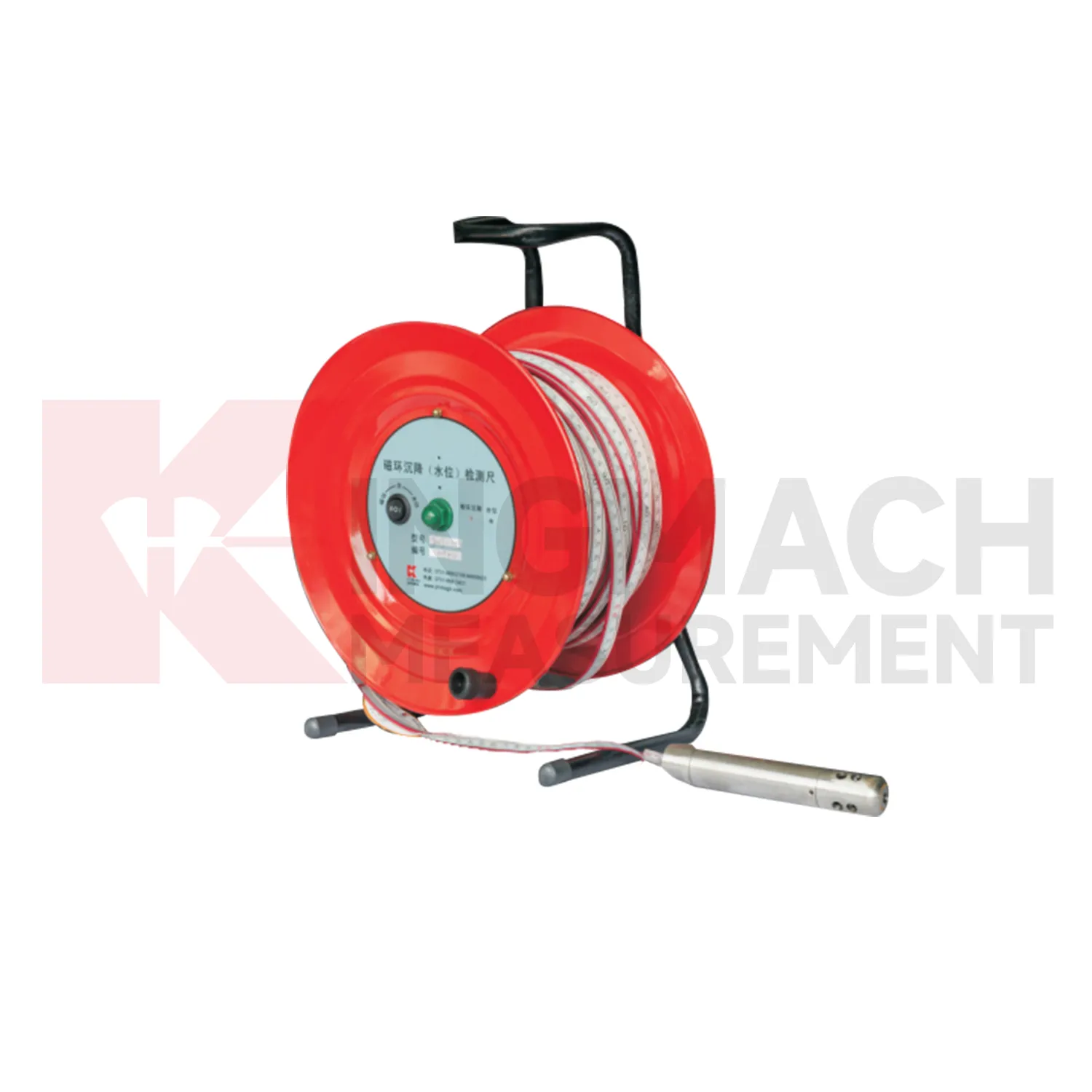
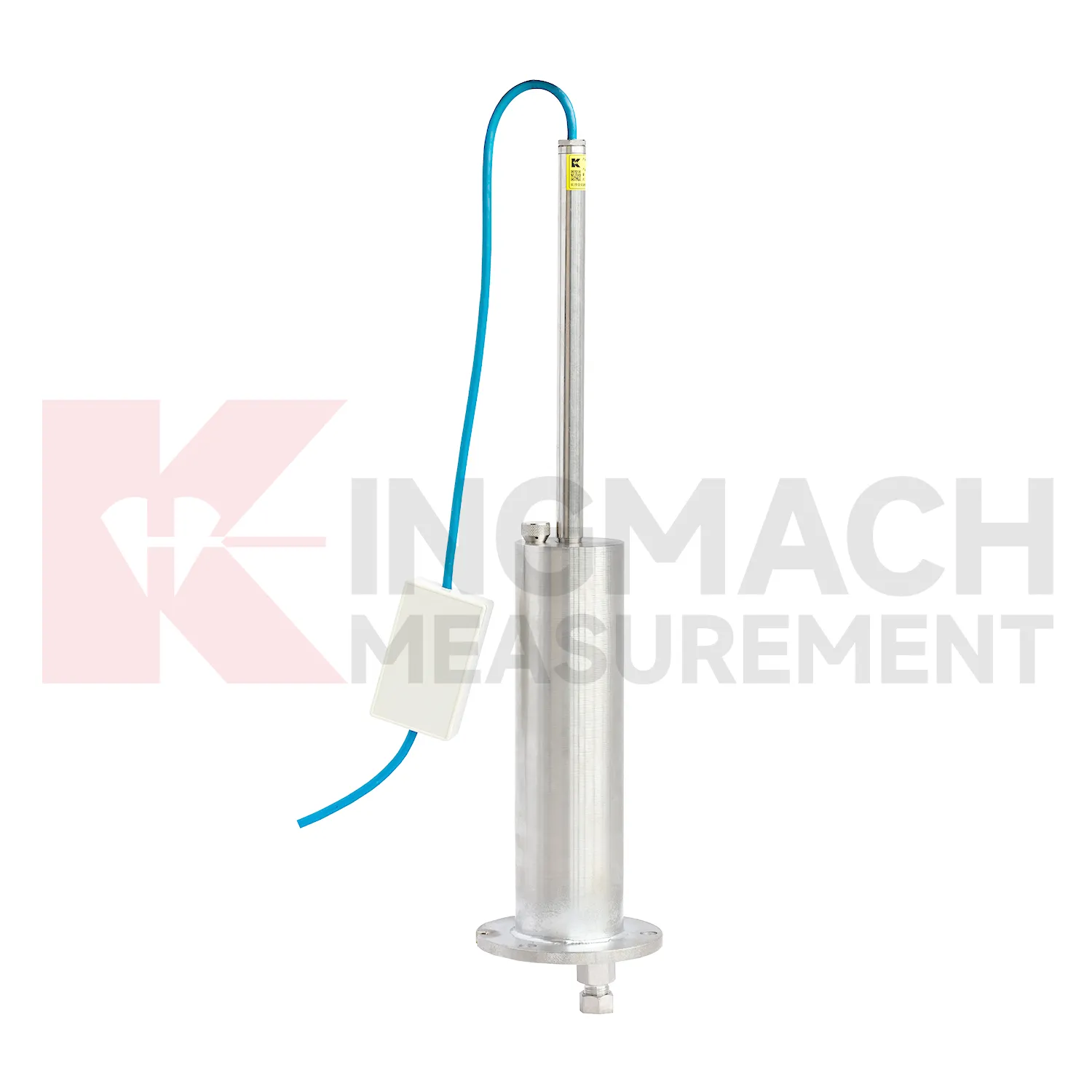
Layered soil, slope, and embankment projects often need Hydrostatic Leveling System that can separate underground compression from groundwater variation. Kingmach JMCJ-1003/1005 magnetic ring settlement water level gauge serves that role through a probe, reel, measuring tape, magnetic rings, and water-level detection. Magnetic rings are placed at selected depths, and the probe gives audible and visual indication when it reaches a ring. Water level is detected by conductivity when the probe contacts water. Published options include 30 m, 50 m, and 100 m depths, plus or minus 1 mm accuracy, a 9V battery, and a probe about 17 cm long with 3 cm diameter. This manual instrument is useful when the engineering question is not just total surface settlement, but which soil layer is compressing. Field crews can compare ring depth, groundwater depth, rainfall, fill placement, cracks, retaining wall movement, and excavation activity. The resulting profile helps identify whether deformation is shallow, deep, water-related, or linked to a particular construction stage.
The future of Hydrostatic Leveling System
Remote infrastructure will shape the future of Hydrostatic Leveling System. Many settlement points sit along long railways, expressways, dams, embankments, slopes, and tunnel portals where routine manual reading is expensive and sometimes unsafe. Low-power acquisition, wireless gateways, solar power, and clear cabinet layouts can reduce unnecessary visits while keeping settlement trends visible. Kingmach hydrostatic sensors and settlement gauges that support remote data collection can fit this direction, especially when RS485 channels, power supply, and reference points are documented well. Remote monitoring should still include scheduled field checks, because tubes, probes, cables, and reference points can be affected by weather and construction. The best future setup will combine fewer emergency trips with better evidence for deciding when a site visit is truly needed. The practical goal is to keep settlement data understandable after the original installation crew has left, so owners can compare old and new readings without reconstructing the field history from memory. The same record should remain readable for designers, contractors, owners, and maintenance teams, because settlement monitoring often continues long after the first construction report is finished.
Care & Maintenance of Hydrostatic Leveling System
Baseline control for Hydrostatic Leveling System is a continuing maintenance task. A zero value should be recorded only after plates, rods, anchors, hydrostatic tubes, reference sensors, magnetic rings, probes, cabinets, and power supply are stable. If the baseline is taken during active compaction, dewatering, grouting, traffic vibration, or support adjustment, every later value may be difficult to explain. Kingmach products can support manual or remote readings, but both methods need a clear starting point. Keep the baseline date, weather, water level, construction stage, operator, and instrument status in the file. If a point must be reset, keep the old value, the new value, and the reason for the change. Do not erase earlier trend data to make a curve look tidy. Future reviewers need to know when the measuring system changed, otherwise normal maintenance can be mistaken for real ground movement.
Kingmach Hydrostatic Leveling System
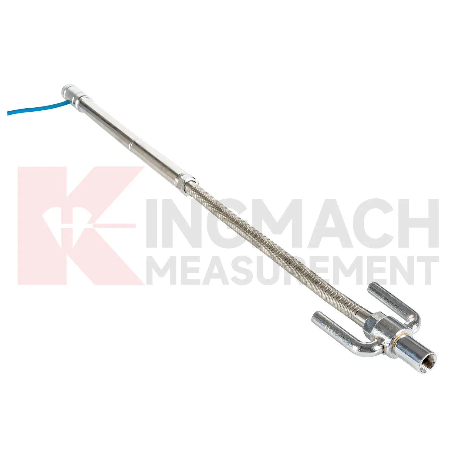
For dams and water-related structures, Hydrostatic Leveling System must be read together with hydraulic conditions. Dam settlement, bridge deflection near water, dyke compression, and foundation deformation may respond to reservoir level, seepage, rainfall, temperature, and seasonal operation. Kingmach JMQJ-62XXADT and JMDL-62XXADT hydrostatic sensors can support multi-point vertical deformation monitoring, while JMCJ-1003/1005 can add groundwater level and layered settlement information. The field record should identify reference point, tube layout, cabinet position, water level, and inspection date. A reading after heavy rain has a different meaning from the same reading during a dry operating period. Settlement data becomes stronger when it is tied to the water story around the structure. The practical aim is a traceable vertical movement history that can support construction control, maintenance planning, and risk review without rewriting the site story. The practical aim is a traceable vertical movement history that can support construction control, maintenance planning, and risk review without rewriting the site story.
FAQ
Q: How should Hydrostatic Leveling System be maintained?
A: Check reference points, tubes, cables, seals, settlement plates, anchors, probes, cabinets, and channel names at planned intervals.
Q: Should zero values be reset casually?
A: No. A reset can hide real settlement. If a reset is necessary, record the reason, time, old baseline, and new baseline.
Q: What data should be reviewed with settlement?
A: Rainfall, groundwater, excavation depth, filling stage, traffic loading, tilt, displacement, strain, and load data can all help explain settlement changes.
Q: What signs suggest a data issue?
A: Flat lines, sudden jumps after maintenance, impossible values, repeated communication gaps, or disagreement with nearby points may indicate instrument or data-chain problems.
Q: What makes a settlement report useful?
A: A useful report includes point location, model, range, baseline, reference point, latest reading, cumulative settlement, rate of change, and field notes.
Reviews
David Wilson
We purchased displacement transducers and settlement sensors, and the quality exceeded our expectations. Easy installation and reliable performance.
Matthew Garcia
Instrumentation cables are durable and perform well even in harsh environments. Will definitely order again.
Latest Inquiries
To protect the privacy of our buyers, only public service email domains like Gmail, Yahoo, and MSN will be displayed. Additionally, only a limited portion of the inquiry content will be shown.
Mia***@gmail.comNetherlands
Dear team, we are interested in your readouts & data loggers compatible with multiple sensors. Do yo...
Evelyn***@gmail.comSouth Africa
Hi, we are a contractor working on tunnel construction and need settlement sensors and displacement ...
Related product categories
- hydrostatic pressure sensor level measurement
- hydrostatic level sensor principle
- hydrostatic level sensors
- hydrostatic pressure level sensors
- Wide-Range Differential Pressure Hydrostatic Level Sensor
- Inductive Frequency-Modulated Hydrostatic Level Sensor
- water level gauge
- water gauge water level gauge
- water gauge level
- gauge water level
- Magnetic Ring Settlement Water Level Gauge
- Optical Deflection Monitor